
A standing project record
Weekly, fortnightly, or monthly visits create a time series instead of a one-off photo dump.

Loading spatial data
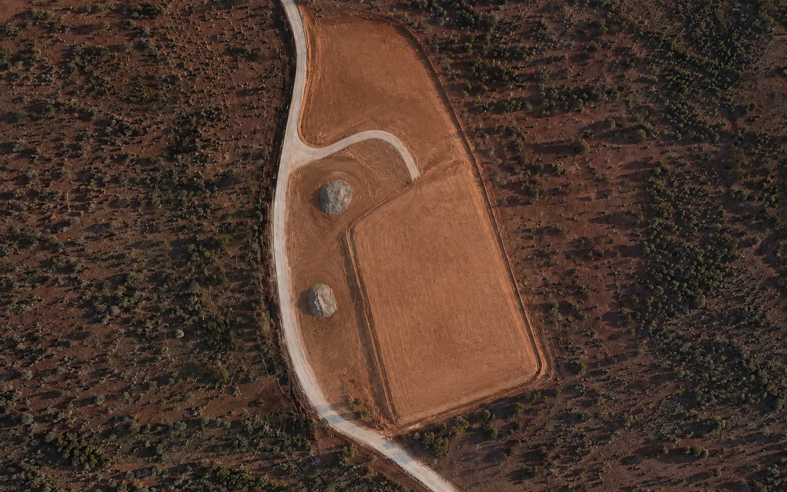
Progress & Data Capture
A recurring capture program for construction progress, time-based comparison, stakeholder records, and project documentation.
Written by ONPOINT DATA SOLUTIONS, Darwin & Palmerston, Northern Territory. .
A single flight is a snapshot. A program of flights is a project record. Weekly, fortnightly, or monthly capture is easy to request — without a booking system. You tell us the cadence, the outputs, and the site constraints. We plan the program around weather, access, and mobilisation.
The method stays consistent so the difference you see is the site, not the capture. That matters on remote NT jobs where sending a team back is expensive. Height, overlap, and control approach are held as steady as the job allows so later datasets sit on the same geometry.
Progress capture is used by construction teams, clients, and superintendents who need a shared record of what the ground looked like on a given week. It supports reporting, stakeholder updates, and conversations about delay or completed work. It is not an online booking calendar and it is not a live camera feed.
A program can combine mapping products with simple visual records. Some jobs only need an orthomosaic and a dated set of views. Others need volumes or a 3D surface each visit. That mix is scoped once so every flight is doing the same job.
Benefits
Weekly, fortnightly, or monthly visits create a time series instead of a one-off photo dump.
The capture method is kept consistent so change in the files is change on the site.
Between mobilisations, stakeholders still have a current picture of the pad, corridor, or compound.
Workflow
Define the site, project objective, required outputs, coordinate/datum requirements, and any supplied control or reference information.
Plan and fly systematic overlapping high-resolution imagery using an appropriate RTK-enabled workflow and site controls where required.
Process imagery into the agreed spatial products; review the dataset and validate against the control/check methodology appropriate to the project.
Supply the agreed maps, models, imagery, quantities, reports, or compatible data files with relevant project notes and limitations.
Applications
Progress records that sit beside the program, not in a one-off photo dump.
A consistent visual record when the conversation is about what changed.
Visibility between mobilisations.
FAQ
There is no online booking system. Request a quote with the cadence you need and we will plan the program.
That is the point. Height, overlap, and control approach are kept consistent so datasets compare cleanly.
Yes, when scoped that way. Some programs are visual only. Others repeat the full mapping set each visit.
Mapping, earthworks, inspections, and progress capture are scoped as separate jobs or as one program. See the rest of the set, or send the site details.
Request a quote
Share the location, the outputs you need, and the timeframe. We will come back with a practical capture plan.
ONPOINT DATA SOLUTIONS
Darwin & Palmerston, Northern Territory
Australia
enquiries@onpointdatasolutions.com.au
Civil · Earthworks · Inspections · Progress records