
A measurable site picture
Teams get a current, georeferenced view of the ground instead of scattered site photos that cannot be measured later.

Loading spatial data
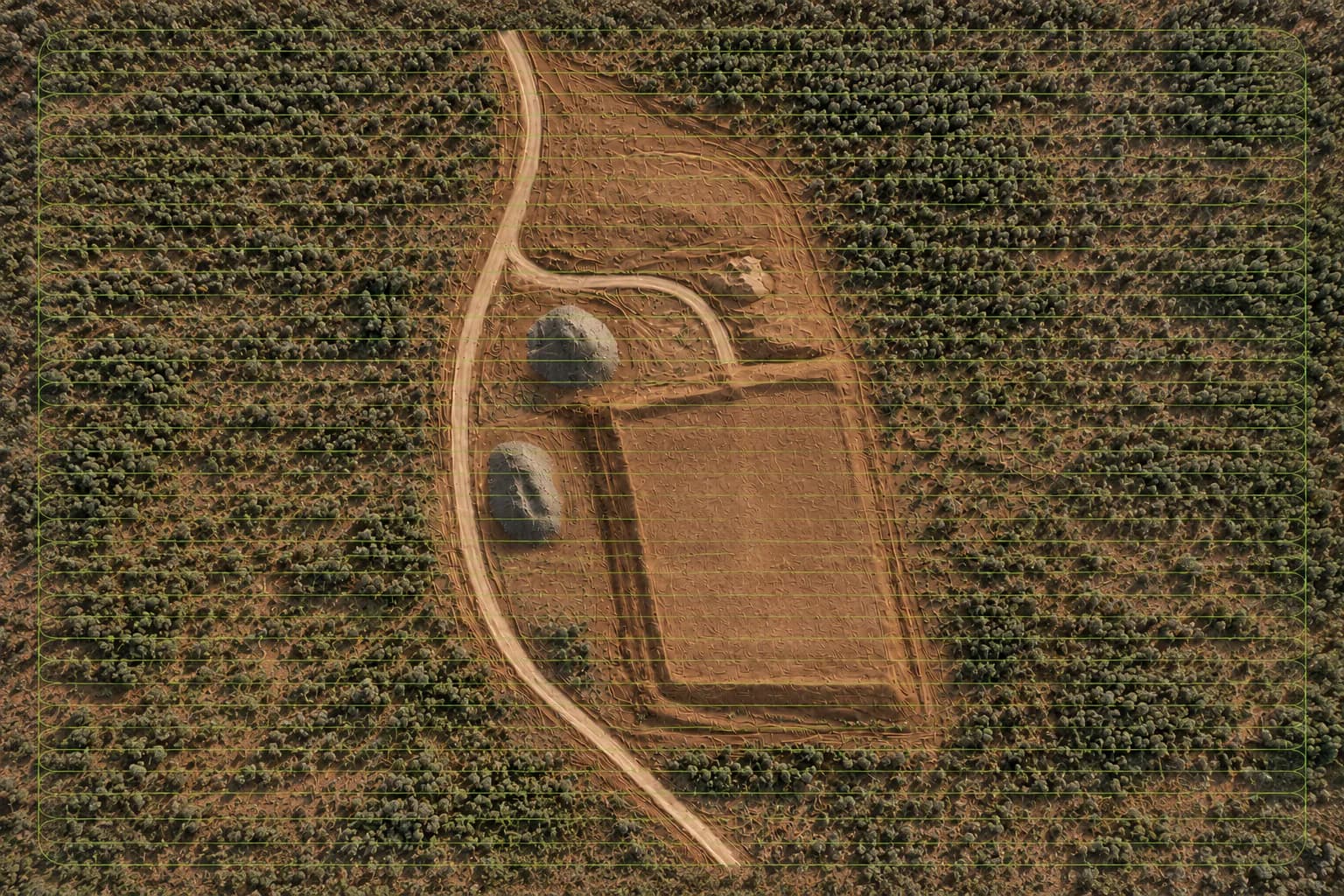
Mapping & Photogrammetry
ONPOINT DATA SOLUTIONS captures high-resolution aerial imagery and processes it into detailed digital site data for civil, earthworks, construction, infrastructure and remote projects across the Northern Territory.
Written by ONPOINT DATA SOLUTIONS, Darwin & Palmerston, Northern Territory. .
This is the core technical service. Overlapping aerial imagery is turned into georeferenced mapping and 3D site information that project teams can measure from. A Darwin or Palmerston site, a remote pad, or a long corridor can all be captured with the same photogrammetry method once the objective, datum, and outputs are agreed.
Accuracy and coordinate requirements are confirmed during scoping. Ground control and independent checks are used where the job requires them. RTK is part of the workflow — not an accuracy guarantee on its own. If you already hold survey control, a design surface, or a previous dataset, that information is used to keep the new capture aligned with the project.
Typical mapping products include an orthomosaic for a current visual record, a 3D model or point cloud for geometry, and contours or volumes where the surface supports them. File formats are chosen for the CAD, GIS, or reporting workflow you already use, not a generic dump of every possible export.
ONPOINT DATA SOLUTIONS is not a cadastral practice. Legal boundary determination in the Northern Territory is restricted to licensed surveyors. Drone mapping here is project data: site geometry, material, progress, and a repeatable record for civil, earthworks, infrastructure, and remote programs.
Benefits
Teams get a current, georeferenced view of the ground instead of scattered site photos that cannot be measured later.
The same flight can support an orthomosaic, model, point cloud, contours, and volumes when the geometry and control allow it.
Capture is scoped for Darwin, Palmerston, and remote mobilisation so travel and weather are part of the plan, not a surprise.
Workflow
Define the site, project objective, required outputs, coordinate/datum requirements, and any supplied control or reference information.
Plan and fly systematic overlapping high-resolution imagery using an appropriate RTK-enabled workflow and site controls where required.
Process imagery into the agreed spatial products; review the dataset and validate against the control/check methodology appropriate to the project.
Supply the agreed maps, models, imagery, quantities, reports, or compatible data files with relevant project notes and limitations.
Applications
Current site records for pads, corridors, and land-development work.
Surfaces that support volume and change conversations on site.
Efficient coverage where ground access is limited or expensive.
FAQ
No. We provide aerial mapping and project data. Legal boundary determination in the NT is restricted to licensed surveyors.
Accuracy is project-specific. It depends on geometry, control, datum, terrain, processing, and validation. Requirements are confirmed during scoping.
Formats are agreed during scoping for the CAD, GIS, or reporting workflow you actually use.
Yes. Darwin and Palmerston are the base. Regional and remote NT work is mobilised as required, with travel quoted separately.
Mapping, earthworks, inspections, and progress capture are scoped as separate jobs or as one program. See the rest of the set, or send the site details.
Request a quote
Share the location, the outputs you need, and the timeframe. We will come back with a practical capture plan.
ONPOINT DATA SOLUTIONS
Darwin & Palmerston, Northern Territory
Australia
enquiries@onpointdatasolutions.com.au
Civil · Earthworks · Inspections · Progress records