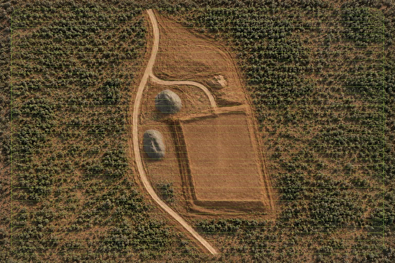
01
Scope
Define the site, project objective, required outputs, coordinate/datum requirements, and any supplied control or reference information.

Loading spatial data
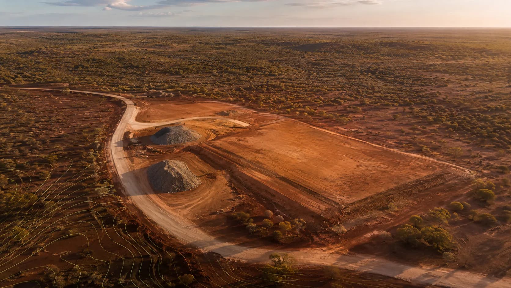

Civil • Earthworks • Asset Inspections • Project Data
NT-Wide & Remote
About the teamAbout the team
ONPOINT DATA SOLUTIONS captures aerial information and turns it into maps, models, quantities, inspections, and repeatable project records for Northern Territory civil, earthworks, infrastructure, and remote programs.
Written by ONPOINT DATA SOLUTIONS, Darwin & Palmerston, Northern Territory. .
The operating team is based in Darwin and Palmerston and mobilises across regional and remote NT. Capture, ground-control workflows, photogrammetry processing, and delivery are handled by the same local team so the record stays consistent from one visit to the next.
We are not a cadastral or land-boundary surveying practice. Legal boundary determination in the Northern Territory is restricted to licensed surveyors or people working under their supervision.
Contact
ONPOINT DATA SOLUTIONS
Darwin & Palmerston
Darwin NT 0800
Australia
Email: enquiries@onpointdatasolutions.com.au
Phone: request a call-back on the enquiry form
·
Services
From first capture to repeatable records — mapping, earthworks measurement, inspections, and progress data for Northern Territory sites.
Flight to data
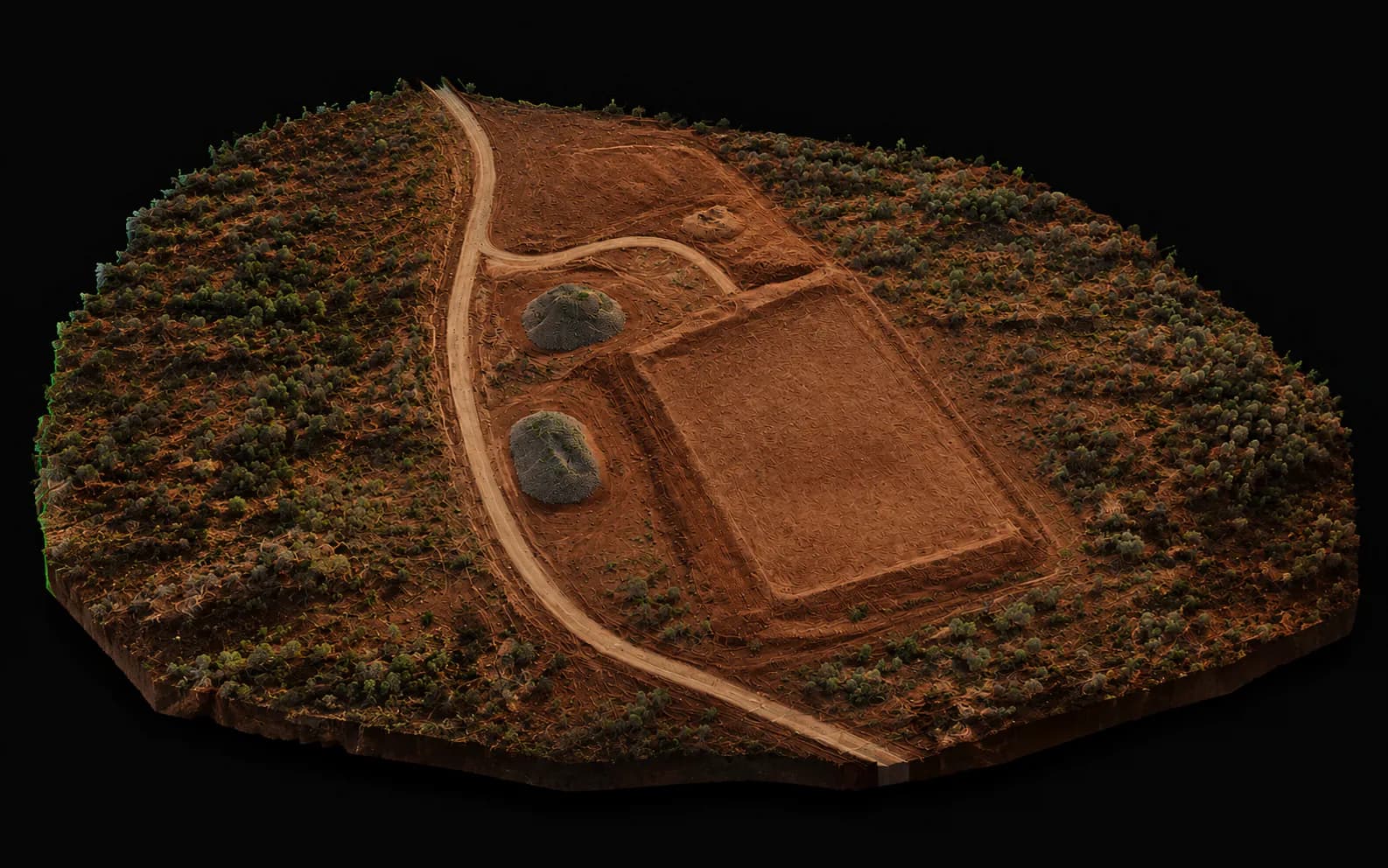
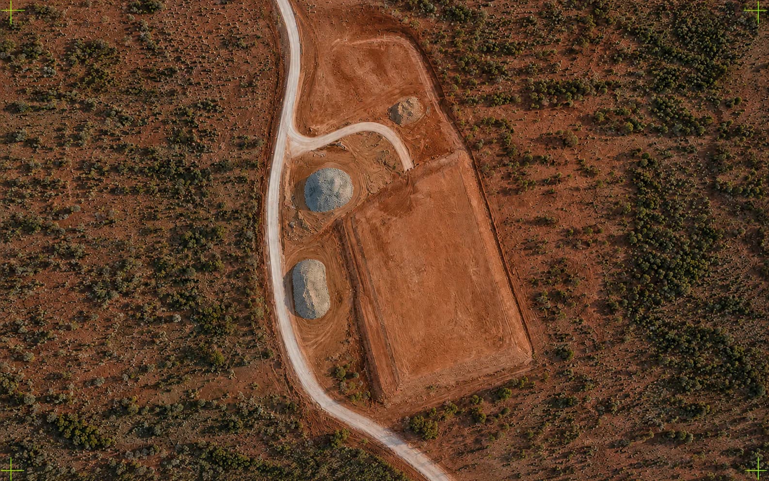
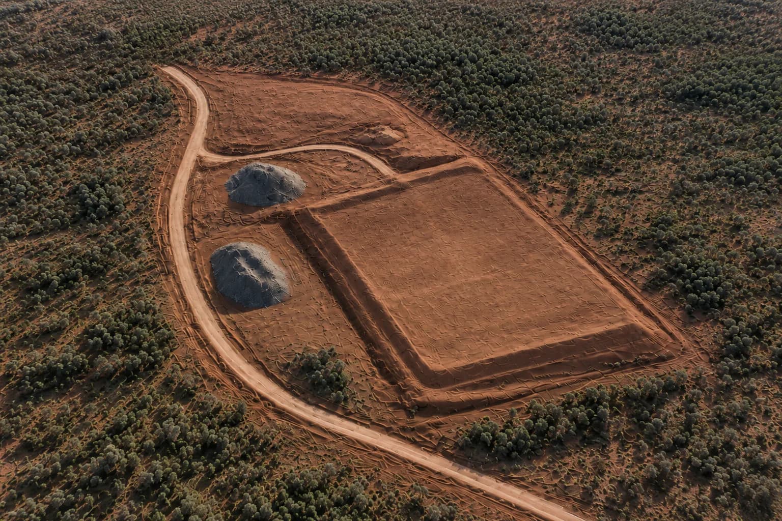
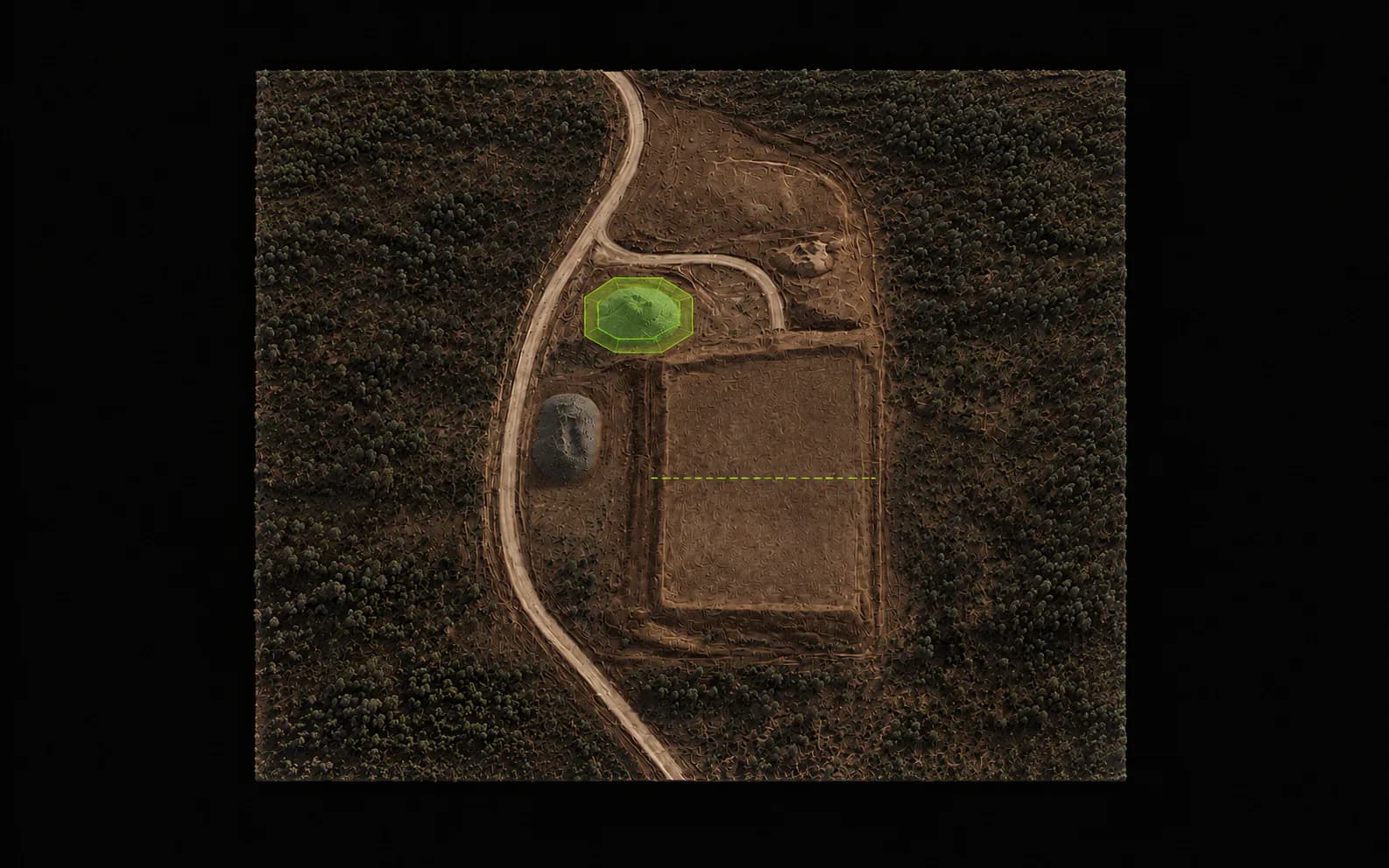
The drone is the capture tool. The product is useful project information: maps, models, quantities, visual inspections, and repeatable project records.
01
Define the site, project objective, required outputs, coordinate/datum requirements, and any supplied control or reference information.
02
Plan and fly systematic overlapping high-resolution imagery using an appropriate RTK-enabled workflow and site controls where required.
03
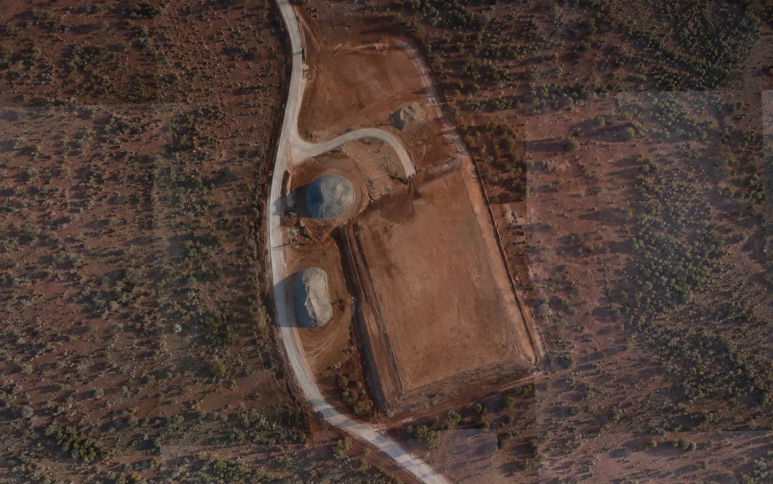
Process imagery into the agreed spatial products; review the dataset and validate against the control/check methodology appropriate to the project.
04
Supply the agreed maps, models, imagery, quantities, reports, or compatible data files with relevant project notes and limitations.
Industries
Civil contractors, asset owners, and remote programs that need clear spatial records — not photography.
Site geometry, earthworks change, and progress records for live jobs.
Stockpiles, cut/fill, and haul-road change over time.
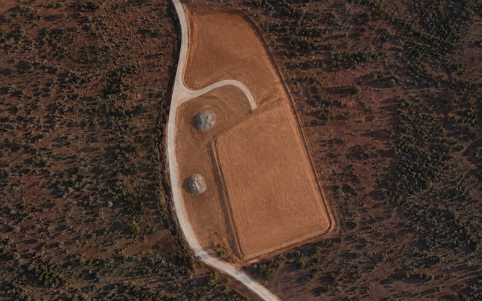
Repeatable visual and spatial records through the programme.
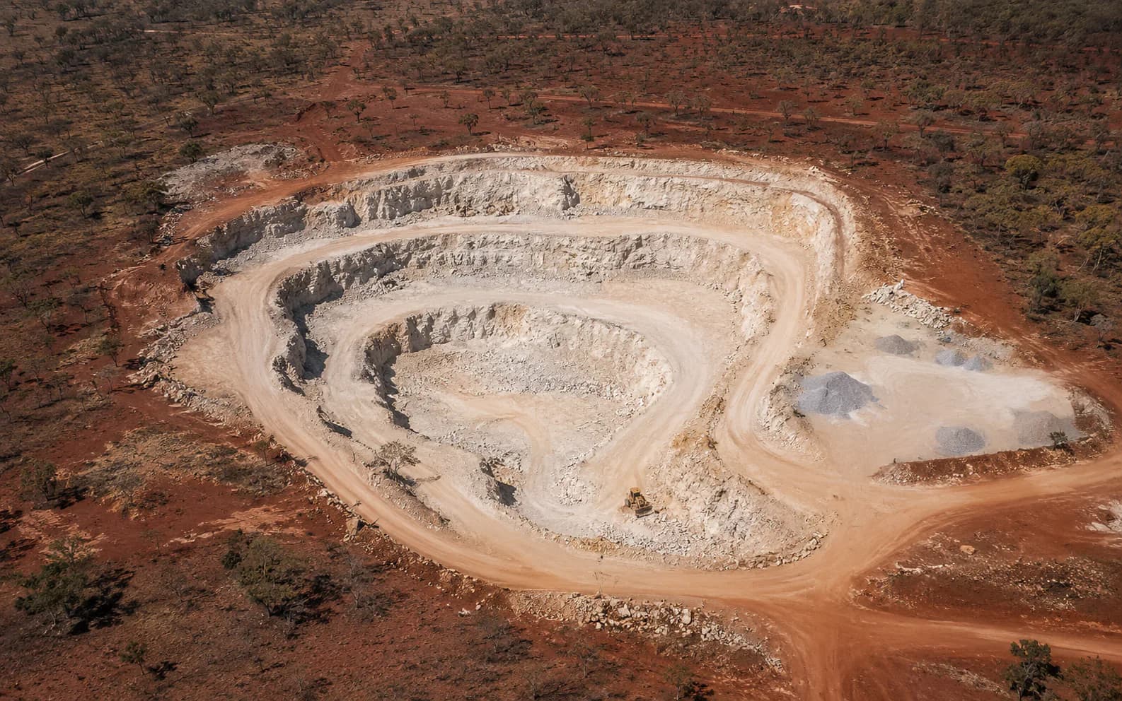
Pit, dump, and stockyard snapshots for operational planning — not statutory mine survey.
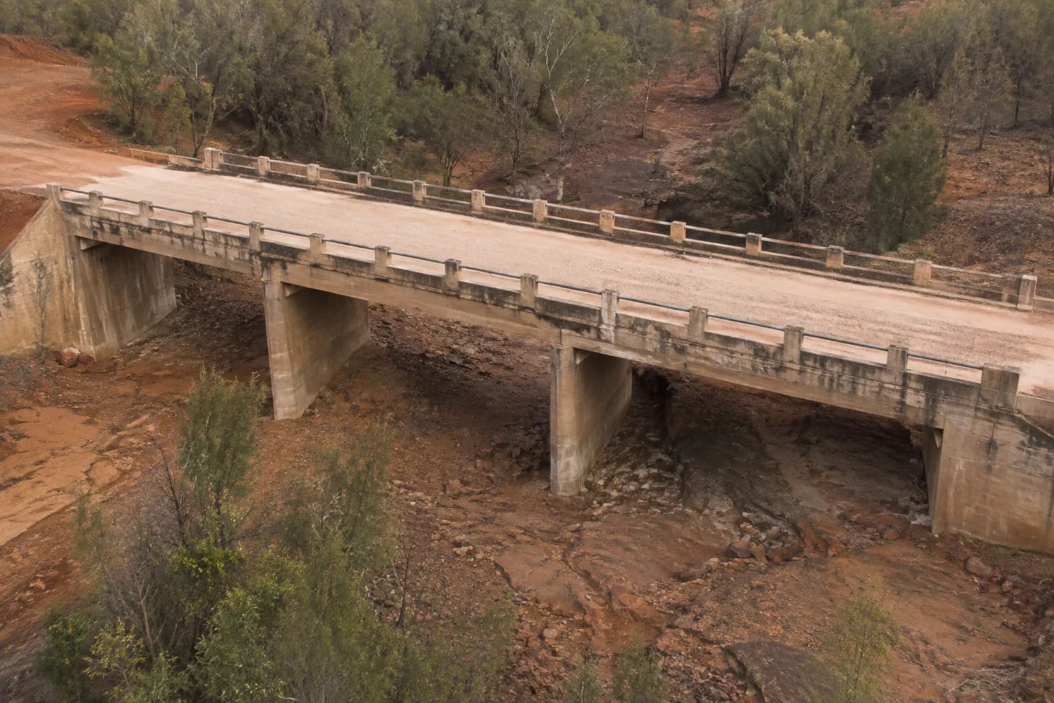
Corridor and structure context for upgrades and maintenance.
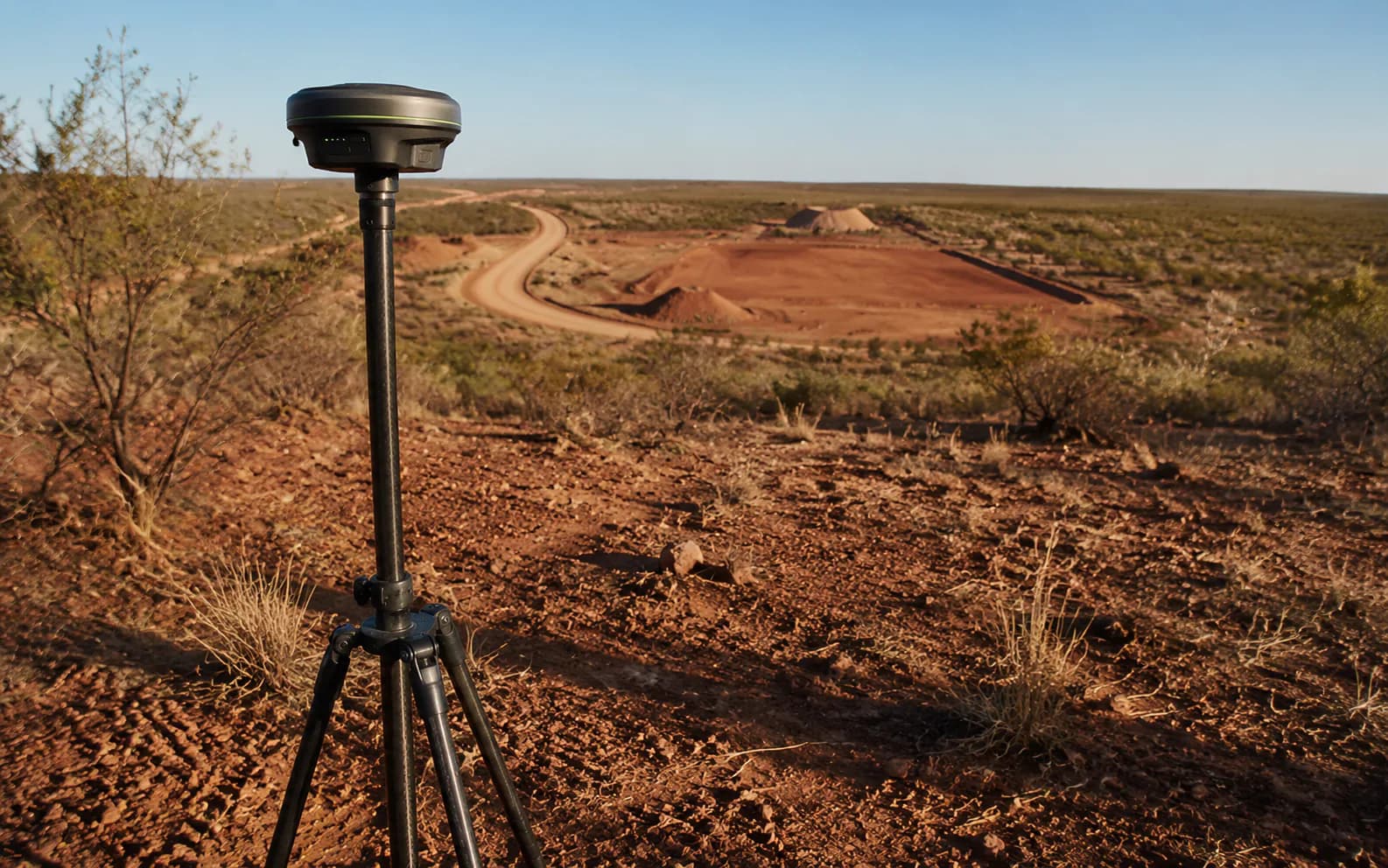
Network assets, easements, and visual condition records.
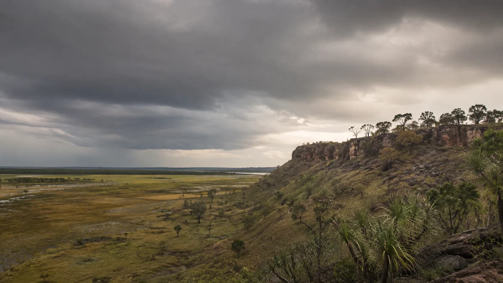
Project records for public works and remote programs.
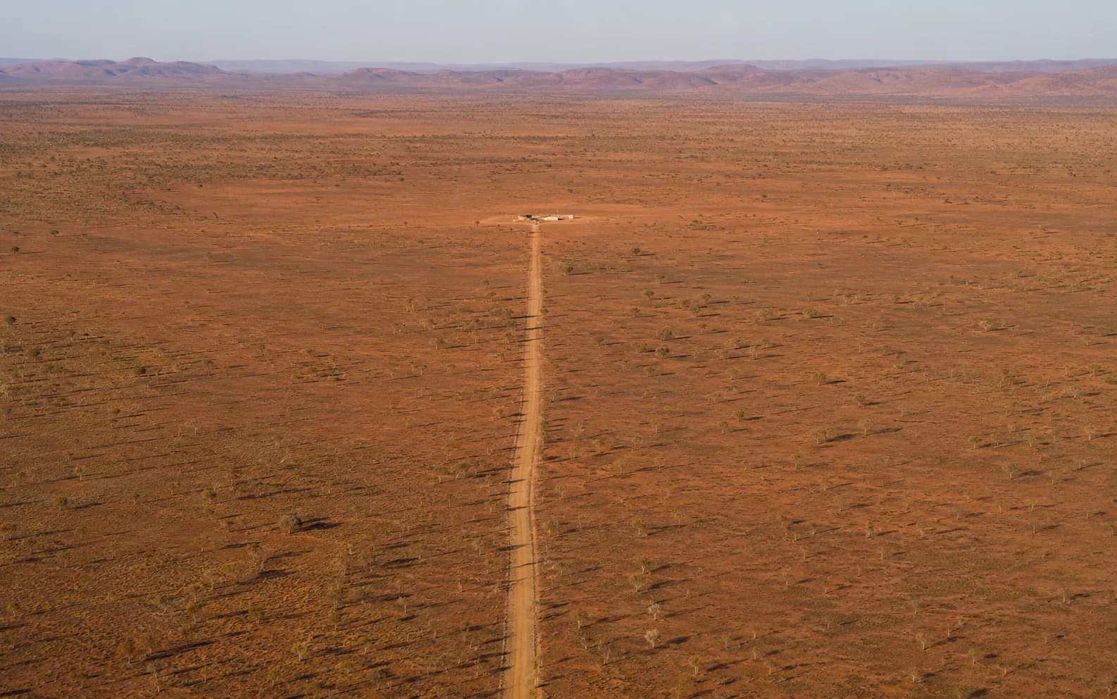
Efficient capture across NT distances where access is limited.
NT-Wide & Remote
ONPOINT DATA SOLUTIONS is based in Darwin and Palmerston and mobilises for regional and remote Northern Territory work. Travel and logistics are quoted separately.
A Top End base for urban, peri-urban, and nearby civil work.
Katherine, Alice Springs, and regional programs as required.
Efficient capture where access is limited and return visits are expensive.
Mobilisation, logistics, and stand-down are scoped with the job.
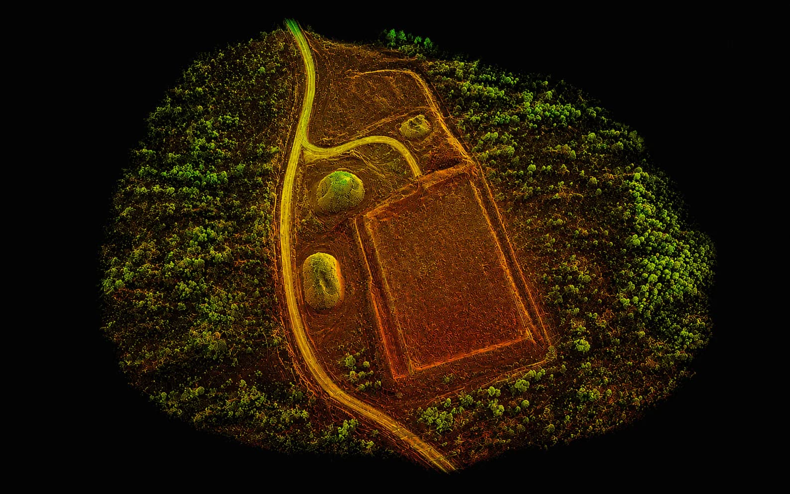
Data outputs
A single capture program can produce the spatial products civil teams actually work from.
Request a quote
Share the location, the outputs you need, and the timeframe. We will come back with a practical capture plan.
ONPOINT DATA SOLUTIONS
Darwin & Palmerston, Northern Territory
Australia
enquiries@onpointdatasolutions.com.au
Civil · Earthworks · Inspections · Progress records