Access without the elevated work
Towers, roofs, and structures can be photographed closely without putting a person at height for every viewpoint.
Loading spatial data
Drone Asset Inspections
High-resolution aerial data capture for inspection and condition monitoring of hard-to-access assets and infrastructure.
Written by ONPOINT DATA SOLUTIONS, Darwin & Palmerston, Northern Territory. .
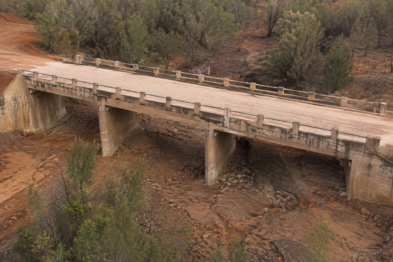
Typical capture may include towers and telecommunications infrastructure, power infrastructure, cables and conductors, structural members, bolts and connections, antennas and mounting hardware, bridges, roofs, buildings, and industrial assets. The value is a close, organised visual record of places that are slow or unsafe to reach from a ladder or EWP.
Records can show visible corrosion, cracking, surface deterioration, damaged or displaced components, and other visible areas of concern — organised for review, not dumped as a folder of stills. Imagery is grouped by asset, elevation, and viewpoint so an engineer or asset owner can walk the same path later.
This is visual capture and condition monitoring only. It does not include engineering certification, structural assessment, electrical diagnosis, thermal diagnostics, or specialist defect diagnosis. Those decisions stay with the relevant engineer, electrician, or asset owner. We supply the evidence they can open and discuss.
Repeat inspections use the same viewpoints where access and airspace allow. That makes visible change easier to talk about at the next maintenance window. Inspection imagery can also sit beside a mapping product when the corridor or site context matters.
Benefits
Towers, roofs, and structures can be photographed closely without putting a person at height for every viewpoint.
Stills are structured by asset and elevation so the reviewer is not sorting a camera roll.
We state what the imagery is and is not. Certification and diagnosis sit with the people licensed to give them.
Applications
Towers, bridges, and corridor assets that are costly to access from the ground.
Visual records of network assets and easement context.
Roofs and industrial structures where elevated work is the alternative.
FAQ
No. We capture visual evidence. Assessment and certification sit with the relevant engineer or asset owner.
No. We do not offer thermal or electrical diagnostic inspection.
Yes. Where access allows, later visits reuse viewpoints so visible change is easier to compare.
Mapping, earthworks, inspections, and progress capture are scoped as separate jobs or as one program. See the rest of the set, or send the site details.
Request a quote
Share the location, the outputs you need, and the timeframe. We will come back with a practical capture plan.
ONPOINT DATA SOLUTIONS
Darwin & Palmerston, Northern Territory
Australia
enquiries@onpointdatasolutions.com.au
Civil · Earthworks · Inspections · Progress records