
Capture operations
Flight planning, RTK-enabled aerial capture, and site control setup across Darwin, Palmerston, and remote Northern Territory programs.

Loading spatial data
About
A Northern Territory spatial-data company. We capture aerial information and turn it into maps, models, quantities, and project records — not a photography studio.
Written by ONPOINT DATA SOLUTIONS, Darwin & Palmerston, Northern Territory. .
The drone is the capture tool. The product is useful project information: maps, models, quantities, visual inspections, and repeatable project records.
We work with contractors, asset owners, and project teams who need a current picture of the ground — and who need that picture to stay consistent from one visit to the next.
Equipment is professional and workflows are RTK-enabled where the job requires it. Accuracy is treated as project-specific, planned with ground control when needed, and never oversold.
Operations are planned around site access, airspace, and weather. We fly under the applicable CASA rules for the job and treat safety as part of delivery — stated factually, not as a marketing claim.
ONPOINT DATA SOLUTIONS is operated by a Darwin and Palmerston-based capture and processing team. The same people scope the job, fly the site, process the photogrammetry, and deliver the record.
Flight planning, RTK-enabled aerial capture, and site control setup across Darwin, Palmerston, and remote Northern Territory programs.
Photogrammetry, QA, and export of maps, models, quantities, and inspection imagery in the formats civil and asset teams actually use.
Contact
ONPOINT DATA SOLUTIONS
Darwin & Palmerston
Darwin NT 0800
Australia
Email: enquiries@onpointdatasolutions.com.au
Phone: request a call-back on the enquiry form
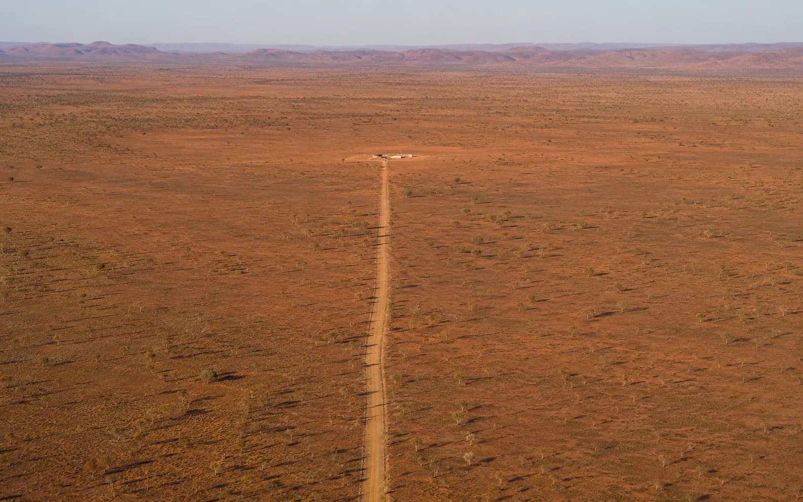
Based in Darwin and Palmerston, mobilising across regional and remote Northern Territory programs.
Outputs described the way earthworks and construction teams talk.
No guaranteed accuracy slogans. Scope, control, then report.
Technology
Enterprise aircraft and GNSS control — chosen for repeatable capture, not for marketing claims.

Enterprise mapping platform
A reliable aerial capture platform for site, corridor, and inspection work. Used in RTK-enabled workflows where project-specific accuracy is planned with the client.
Ground control & positioning
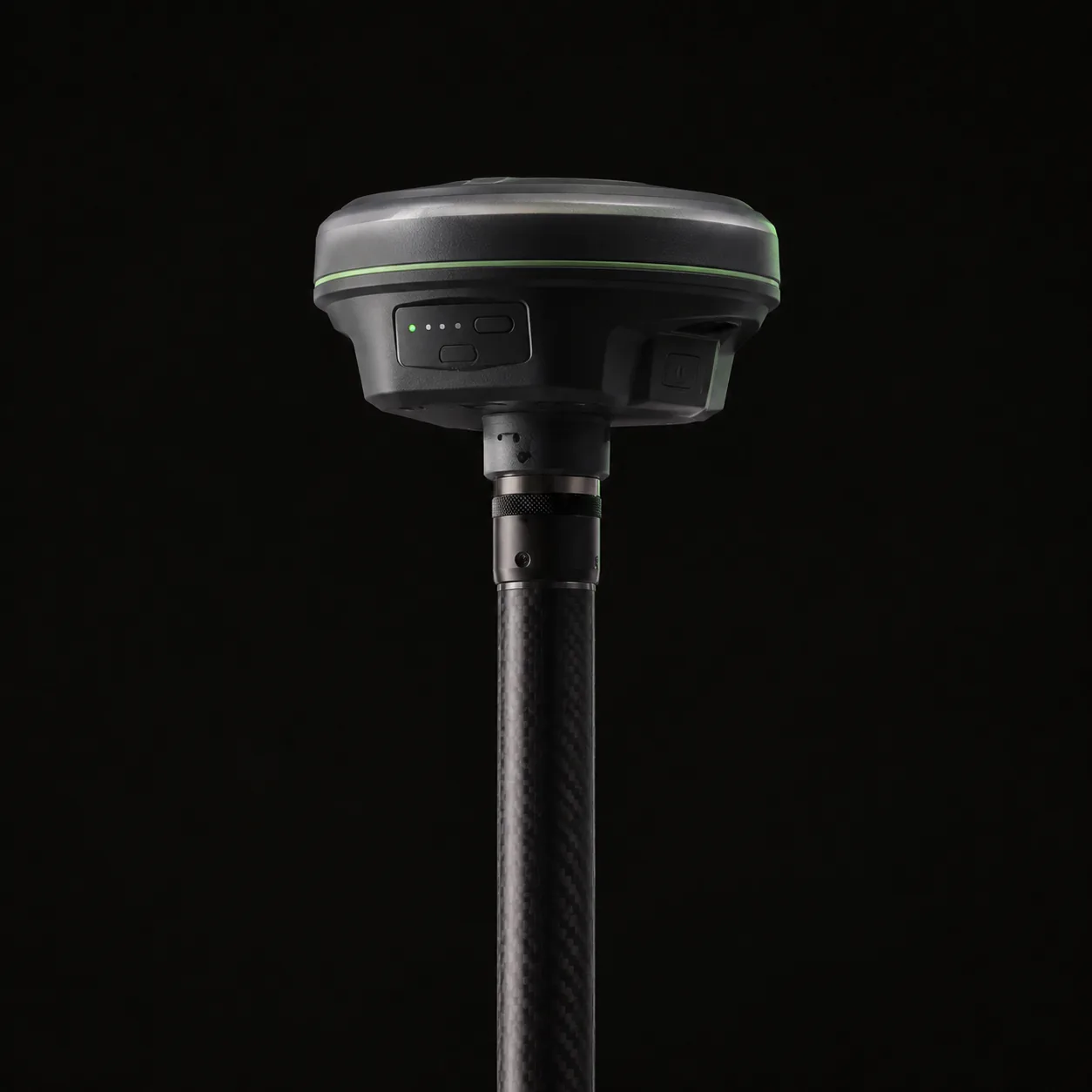
GNSS receivers used for ground control workflows and site referencing. Accuracy is treated as project-specific — planned, checked, and reported against the job.
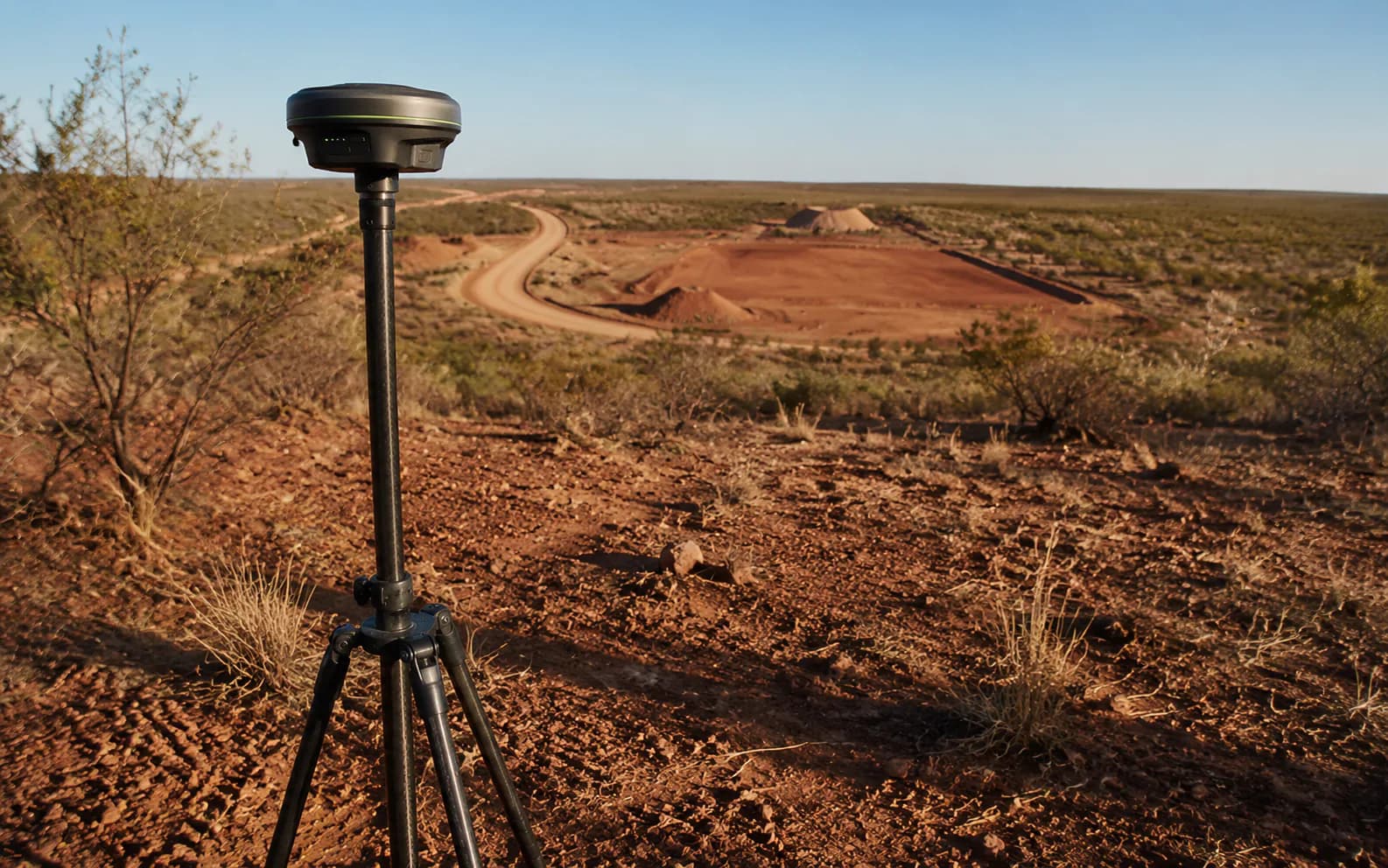
Ground control workflows in the field
Scope and datum
ONPOINT DATA SOLUTIONS provides aerial mapping, photogrammetry, and project data. We are not a cadastral or land-boundary surveying practice. Legal boundary determination in the Northern Territory is restricted to licensed surveyors or people working under their supervision.
Project coordinate reference system and vertical datum are confirmed during scoping. Australian/NT requirements such as GDA2020/MGA and AHD are supported where applicable. Legacy or client datasets may use other systems.
Accuracy is project-specific. It depends on aircraft, geometry, control, datum, terrain, processing, and validation. RTK is part of an accuracy workflow — it is not, by itself, an accuracy guarantee.
Request a quote
Share the location, the outputs you need, and the timeframe. We will come back with a practical capture plan.
ONPOINT DATA SOLUTIONS
Darwin & Palmerston, Northern Territory
Australia
enquiries@onpointdatasolutions.com.au
Civil · Earthworks · Inspections · Progress records